
A simulated city road network lights up; vehicles move and signals change. A control lets you compare fixed-time and adaptive signals.
- Vehicles waiting
- —
- Share of traffic stopped
- —
Queues building Coordinated corridor
MAARGIntelligence
Smart traffic infrastructure for Indian cities, in development at MAARG Technologies. Signals that adapt, green corridors for emergencies, and one view of every road.
Signals that can't see the road
Most signals run on fixed plans set months ago. Emergency vehicles wait at the same reds as everyone else. Incidents are found when someone calls them in. Commuters find out about a jam once they are in it.
MAARG Intelligence connects the junction, the camera, the control room and the commuter, so each of those moments gets a faster, better-informed response.
Clear the way ahead
Dispatch an ambulance along a five-junction road. With a green corridor, each signal ahead turns green just before it arrives and cross traffic is held; behind it, normal timing comes straight back. Then run the same trip without priority.
- Trip time (simulated)
- 0.0s
- Stops at junctions
- 0
- Choose a mode and dispatch the ambulance.
Simulation. Timings come from this animation, not from field measurements.
Five things a city gets
Smarter, smoother signals
Adaptive traffic control adjusts signal timings to the traffic actually present and coordinates signals along chosen corridors, cutting avoidable stops and delays.
- Timings follow live demand, not a fixed timetable
- Corridors run as one green wave
Priority for emergencies
The system can set up green corridors so emergency vehicles move through congested stretches faster, with junctions ahead cleared as they approach.
- Route reserved junction by junction
- Normal timing restored right behind
Faster incident response
Real-time detection of congestion, slow-moving traffic and road incidents lets traffic police divert traffic and respond sooner.
- Incidents surface on the operations screen
- Diversions can be planned in minutes
Timely commuter information
Variable message signs and digital platforms share congestion, diversions, parking availability and road conditions. Updates can also go to navigation providers, so people can choose better routes.
- Roadside signs, apps and map services
- One update, published everywhere
Consistent enforcement
Automated detection covers red-light and stop-line violations, speeding, wrong-way driving, riding without a helmet or seat belt, illegal parking and phone use while driving. AI analytics can also help identify stolen, hot-listed and blacklisted vehicles, repeat violators and vehicles linked to hit-and-run cases.
- Events are flagged as evidence for review
- Decisions stay with authorised officers
One city, one screen
Traffic regulation, enforcement and information come together on a common platform in Traffic Command and Control Centres, supported by a secure data centre and disaster recovery.
Simulated city map on the operations screen
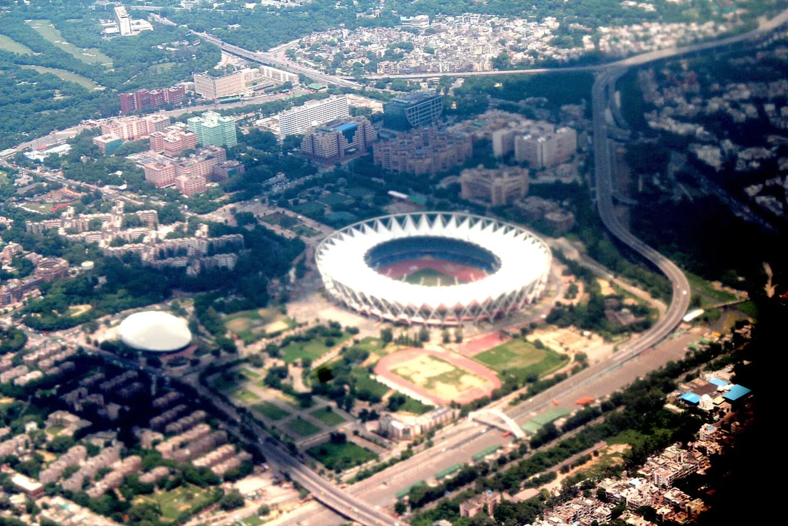
A city is thousands of junctions that only work well together.
Delhi from the air. Photo: Sumita Roy Dutta, CC BY-SA 4.0, via Wikimedia CommonsBuilt in layers, open at the edges
The platform follows open standards and APIs, so existing equipment can connect today and new systems can join later without starting over.
On the street
Field devices
- Cameras
- Vehicle detectors
- Signal controllers
- Variable message signs
Command & control
Traffic Command and Control Centres
- Live monitoring
- Adaptive signal control
- Incident management
- Enforcement review
Data & resilience
Secure data centre with disaster recovery
- Event and video storage
- Analytics
- Recovery site
Out to people
Open standards and APIs
- Commuter app
- Navigation providers
- Police & emergency services
- City departments
In the commuter's pocket
PlannedA mobile experience for road users: congestion, diversions, parking availability and road conditions from the same platform the control room uses.
It could ship as MAARG's own app, or as a data feed inside the Indian map and navigation apps people already use. We are designing for both.
Plan a corridor with us
MAARG Intelligence is in development. We are looking for city agencies, traffic police and system integrators who want to shape a first deployment.
What you saw on this page
- The city network, corridor run and control-room screen are simulations built for this website.
- They show how the system is designed to work, not results from a live deployment.
- Photographs and footage show Indian streets today, credited where they appear.